


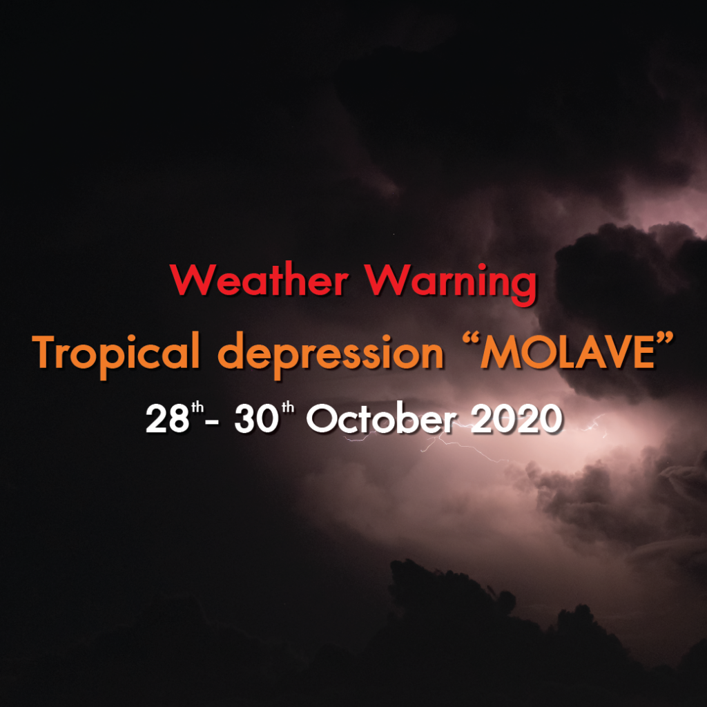
At 10.00 a.m. on 29 October, the Category 2 Tropical depression “MOLAVE” downgrade into the Category 1 (The active low pressure) over Northeast of Thailand. It was moving west with the speed of about 25 km/hr. It is expected to downgrade into low pressure over the lower North and upper Central next time. Isolated heavy rain with strong wind is likely in upper Thailand.
The strong southwesterly winds prevail over the Andaman Sea, the South and the Gulf bringing about isolated heavy rain with strong wind in the South.
Affected areas of heavy rain are as followings:
29 October 2020
North: Nan, Phrae, Lamphun, Lampang, Uttaradit, Phitsanulok, Sukhothai. Phichit, Tak and Phetchabun.
Northeast: Loei, Nong Bua Lam Phu, Maha Sarakham, Roi Et, Chaiyaphum, Khon Kaen, Nakhon Ratchasima, Buri Ram and Surin.
Central: Nakhon Sawan, Uthai Thani, Chai Nat, Lop Buri, Saraburi, Sing Buri, Ang Thong, Kanchanaburi, Suphan Buri and Ratchaburi.
East: Nakhon Nayok, Prachin Buri, Sa Kaeo, Chanthaburi and Trat.
South: Phetchaburi, Prachuap Khiri Khan, Chumphon, Surat Thani, Ranong, Phangnga, Phuket, Krabi, Trang and Satun.
Affected areas of heavy rain are as followings:
30 October 2020
North: Sukhothai, Tak and Kamphaeng Phet.
Central: Nakhon Sawan, Uthai Thani, Chai Nat, Suphan Buri and Kanchanaburi.
South: Phetchaburi, Prachuap Khiri Khan, Chumphon, Surat Thani, Ranong, Phangnga, Phuket, Krabi, Trang and Satun.
People in the risky areas should beware of severe conditions that may cause flash flood and water runoff.
The strong wind and waves prevail over the Andaman Sea and the Gulf with 2-3 meters high of the Andaman Sea and the upper Gulf, about 2 meters in the lower Gulf and above 3 meters in thundershowers. All ships should proceed with caution and keep off thundershowers while small boats keep ashore.
Thank you: Thai Meteorological Department